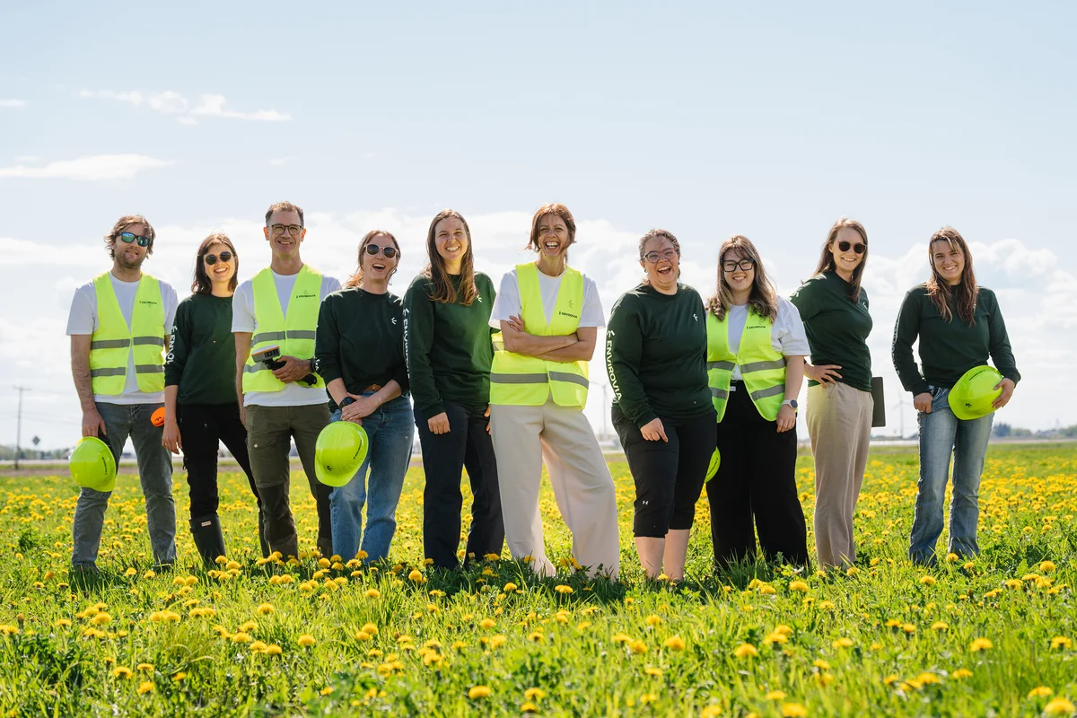
Delineate, describe, document. The scientific foundation on which your project's authorizations, compensations, and design choices rest.
Ecological characterization consists of inventorying, describing and delineating the biological and physical components of a site: vegetation, soils, drainage, wildlife, wetlands and waterbodies. It establishes the baseline on which a project's technical and regulatory decisions rest, and helps identify ecological issues as early as the planning stage.
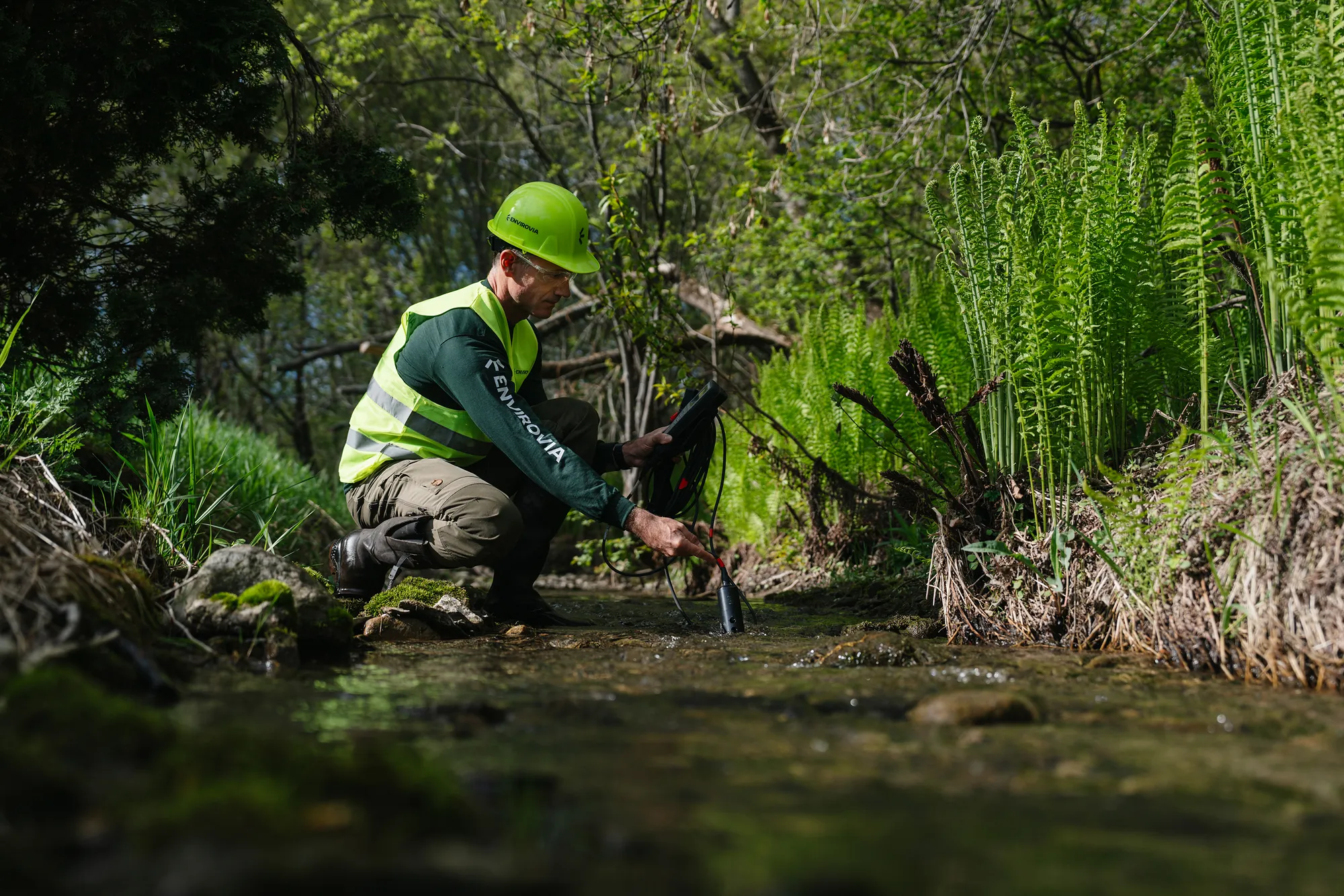
A construction or development project located near a wetland, a waterway or a sensitive habitat may require such a study. Our team of biologists offers a complete service, from preliminary feasibility studies to detailed studies: analysis of existing data and historical aerial photographs, delineation of wetlands and waterbodies, characterization of waterways and shorelines, vegetation inventories, assessment of the potential presence of species at risk, and evaluation of the ecological value of the environments.
Our reports are prepared according to MELCCFP guides and methods. They can support a ministerial authorization request, a municipal permit application, an impact study or any other process that requires a documented ecological portrait of the site.
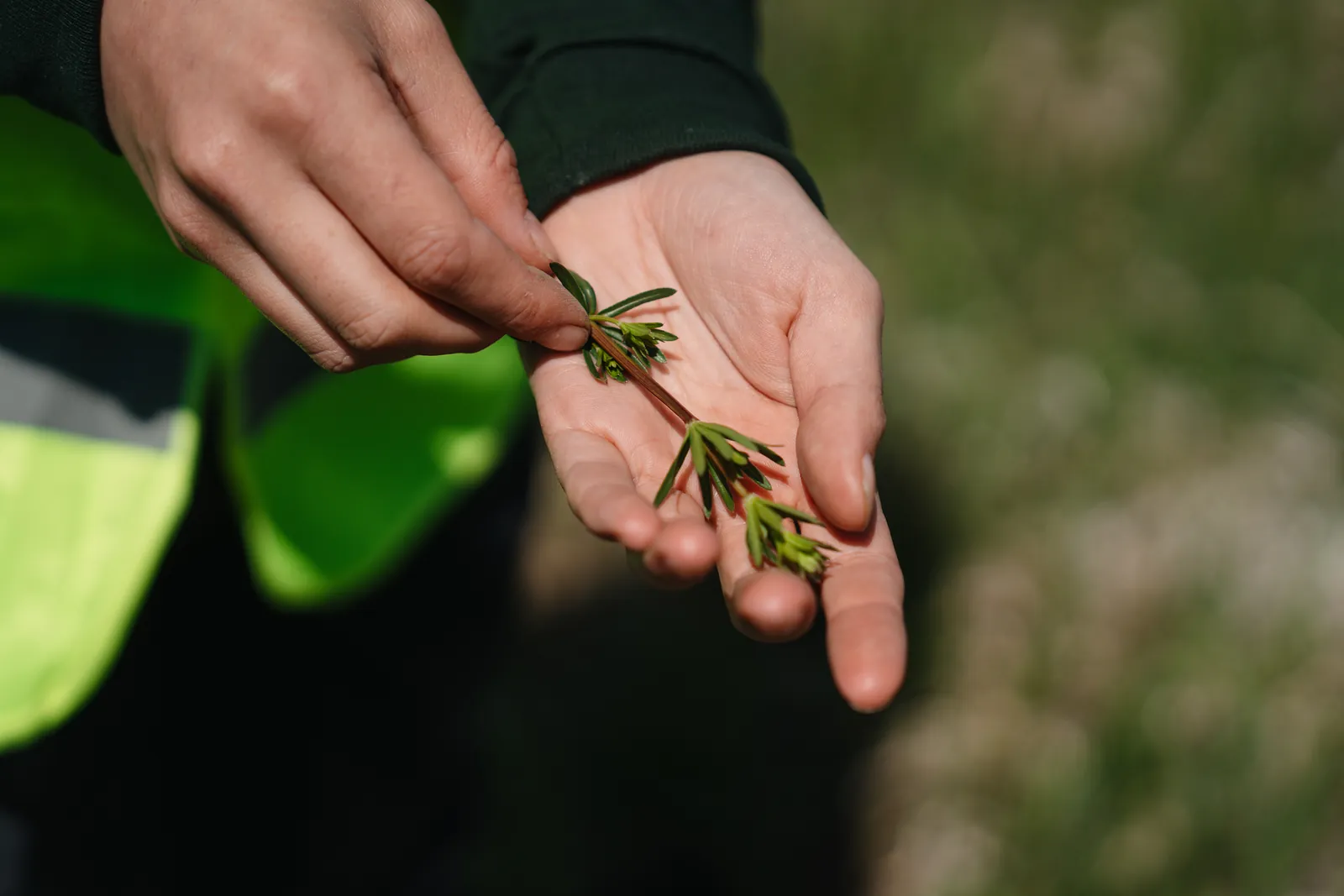
Understanding of the project and the client's needs, followed by a preliminary analysis of the site using the available background information. This step assesses the potential presence of wetlands and waterbodies and helps target field efforts.
Positioning of inventory stations according to the recommendations of the MELCCFP wetland identification and delineation guide, and scheduling of field visits during the appropriate survey periods.
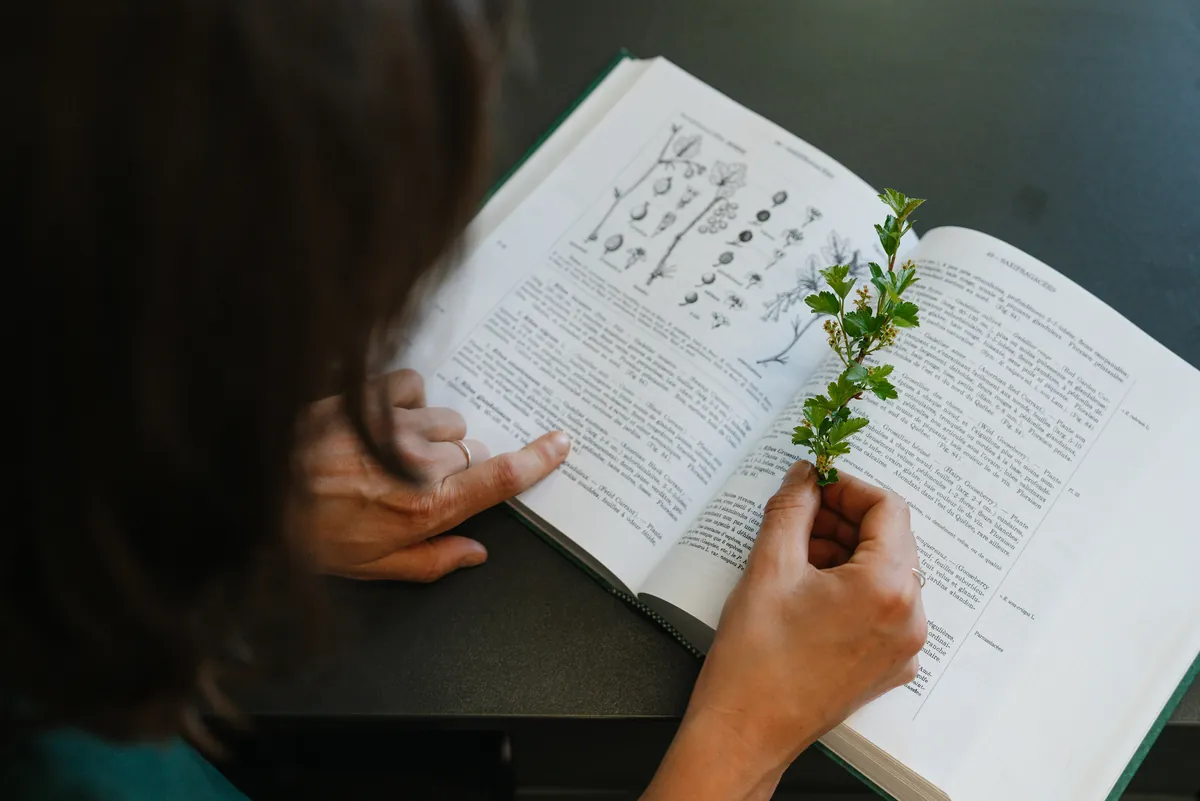
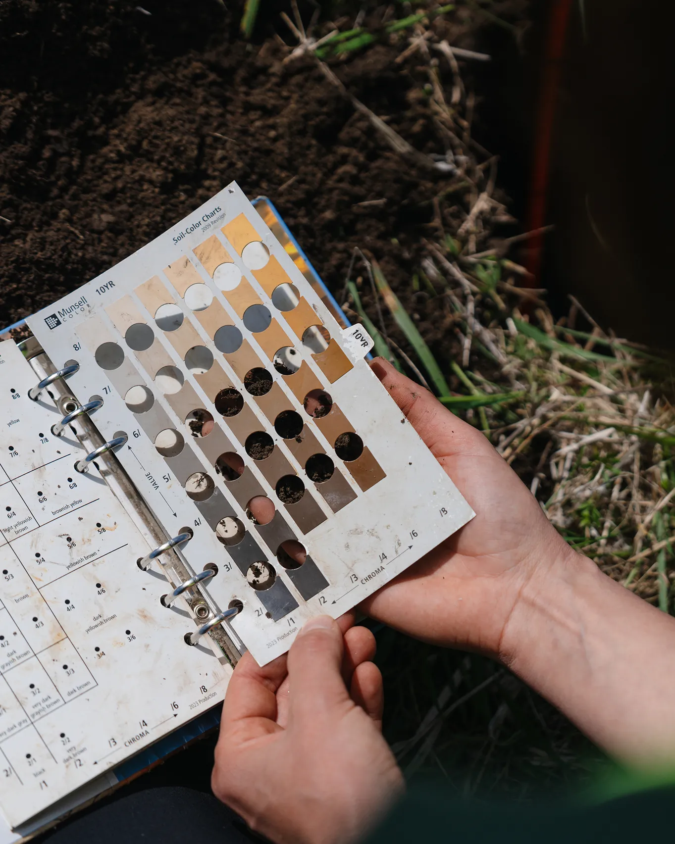
Complete survey of the site by our biologists: vegetation inventory stations, soil pits, survey of hydrological indicators, delineation of wetlands, waterbodies and the littoral boundary, characterization of waterways and shorelines when required, and search for wildlife habitats and species at risk.
Data compilation, assessment of the ecological functions and value of the environments, production of thematic maps and report writing. On request, support for the client in subsequent steps with the relevant authorities.
Same owners, same team, new name. The expertise you have trusted for years, with a new look.