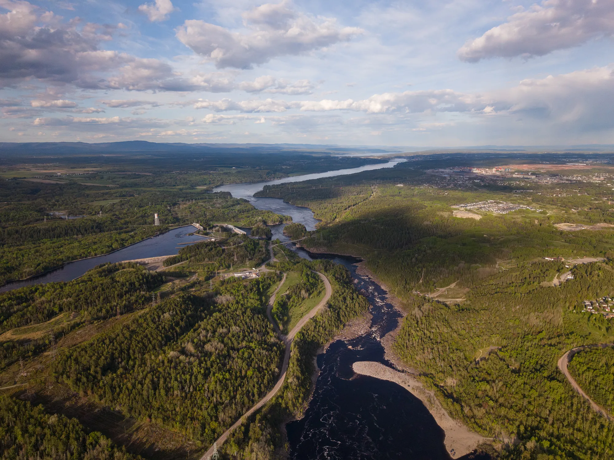
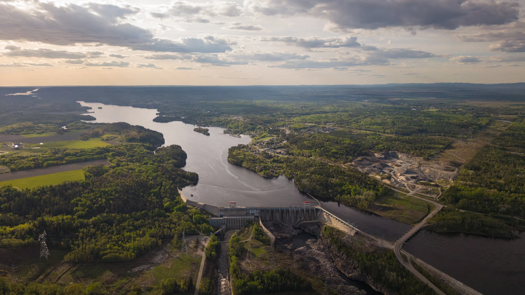
Understanding a waterway's dynamics to manage it better. Rigorous HGM studies, mobility opinions, morphological quality indices, and floodplain mapping to secure your projects and guide land management.
The hydrogeomorphological (HGM) approach looks at the forms of a waterway and the processes that shape them: erosion, sediment transport and deposition, channel migration, flooding, ice jams. By tracing a waterway's evolution over time, it helps explain the issues observed in the field, determine their causes and anticipate how they will evolve. This approach is increasingly used in Québec for waterway risk management, land-use planning and the restoration of aquatic environments.
Our team of geomorphologists conducts HGM studies at different scales, from a one-off opinion on a waterway's mobility to a complete watershed portrait. Our analyses combine historical aerial photographs, LiDAR data, hydrological data, consultation with local stakeholders and field validation. They are intended for RCMs, municipalities, conservation and wildlife management organizations, and developers.
Compilation of available data on the study area, planning documents and records of past events. When the mandate lends itself, consultation with local stakeholders to document the issues experienced on the territory.
Segmentation of waterways into homogeneous reaches through photo-interpretation, identification of fluvial styles and erosion and sedimentation features, followed by an analysis of the waterway's trajectory over time.
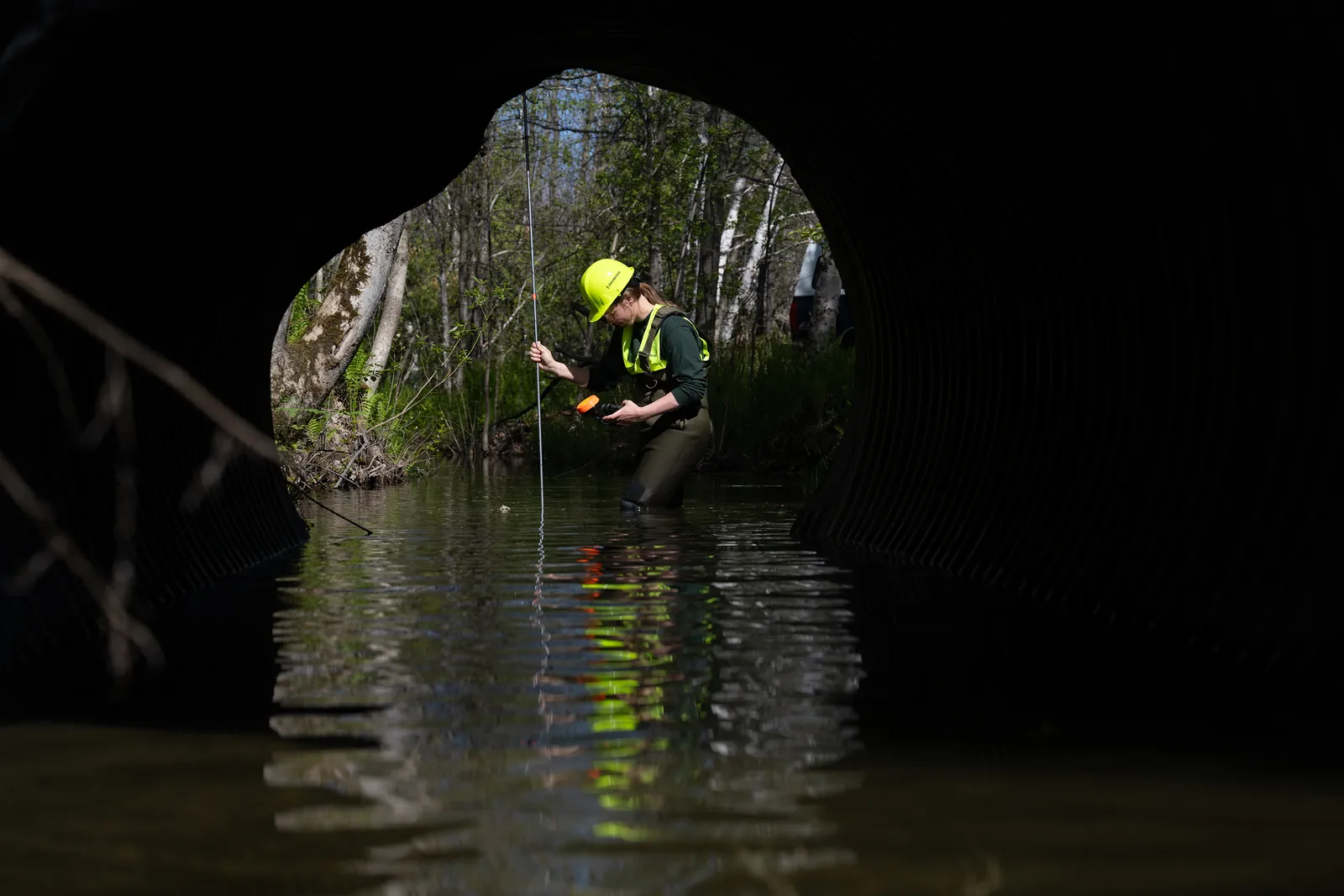
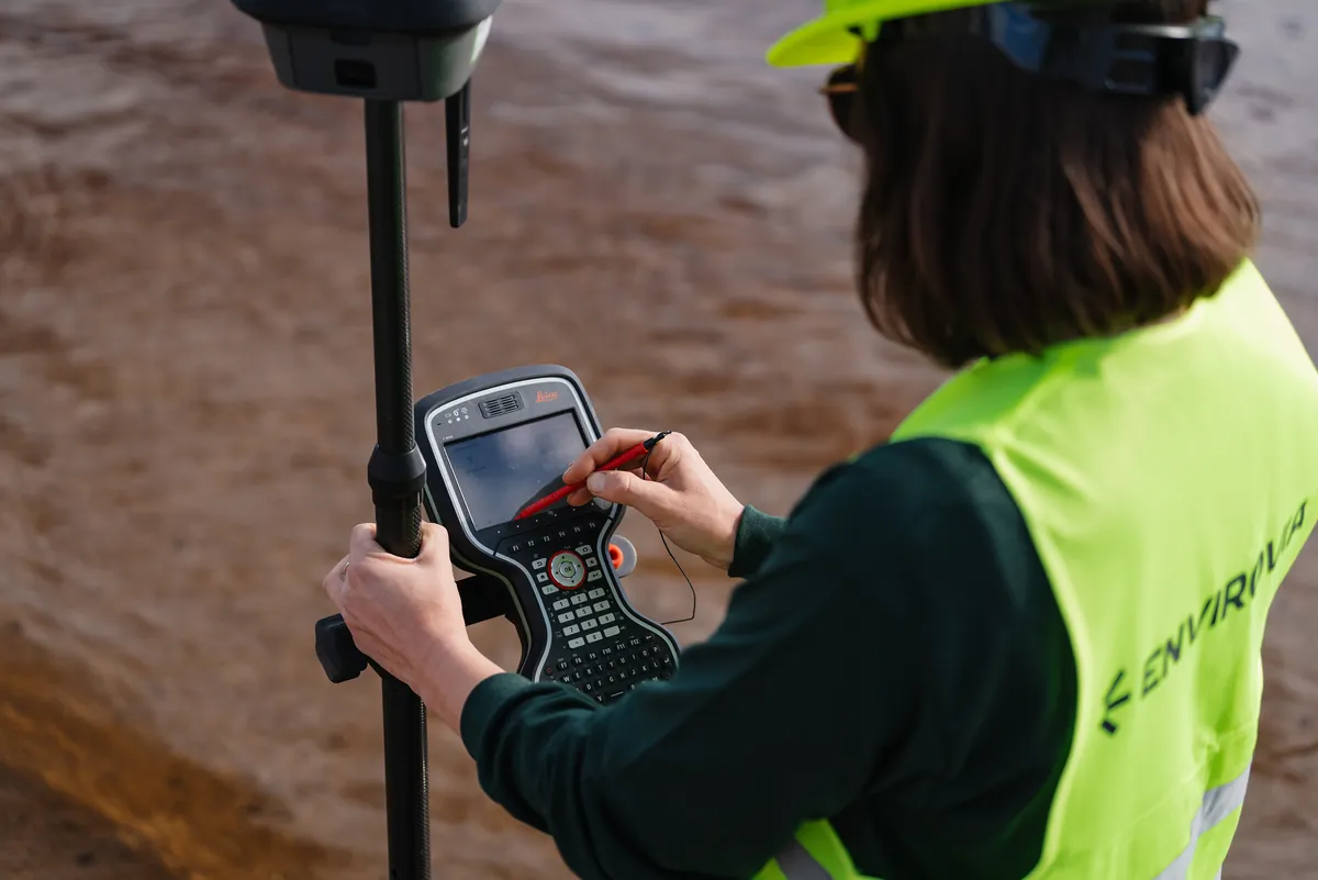
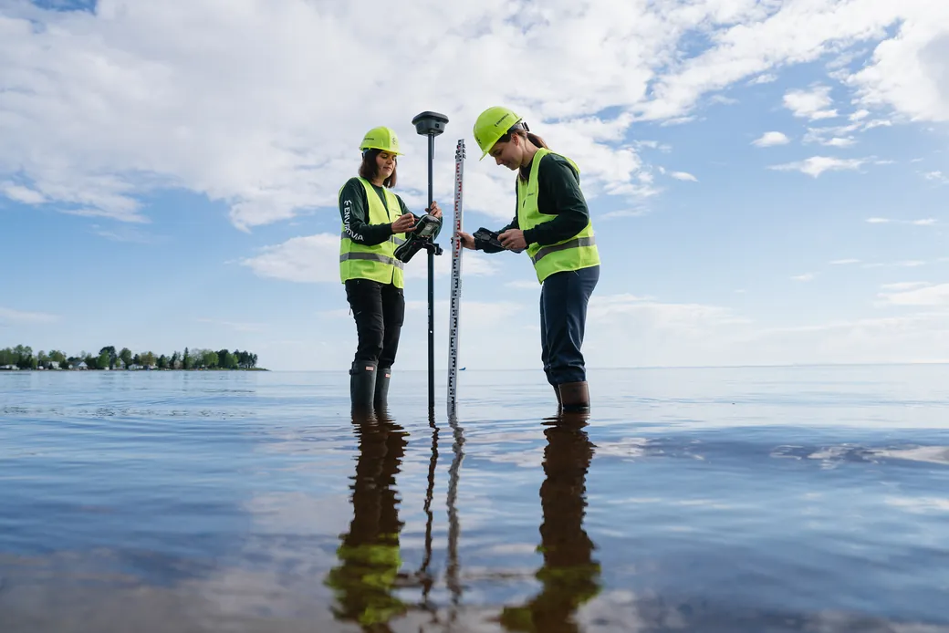
Characterization of targeted sectors: condition of the bed and banks, active processes, natural and human disturbances. MQI calculation and delineation of mobility and flood spaces.
Overall analysis of the dynamics of the waterway or watershed, identification of the causes of the observed issues and prioritization of intervention sectors. Production of the report and maps, recommendations for development or restoration, and presentation of results to stakeholders.
Same owners, same team, new name. The expertise you have trusted for years, with a new look.