Measuring land and underwater beds with centimetre-level precision. Topographic and bathymetric surveys that feed into geomorphological studies, structure design, and fluvial dynamics monitoring.
Topographic and bathymetric surveys provide the essential baseline data for all of our mandates: ecological characterization, hydrogeomorphological studies, water body diagnoses, protective structure design, hydraulic modelling, and monitoring a site's evolution over time. Without precise measurement, analyses are uncertain and interventions risky.
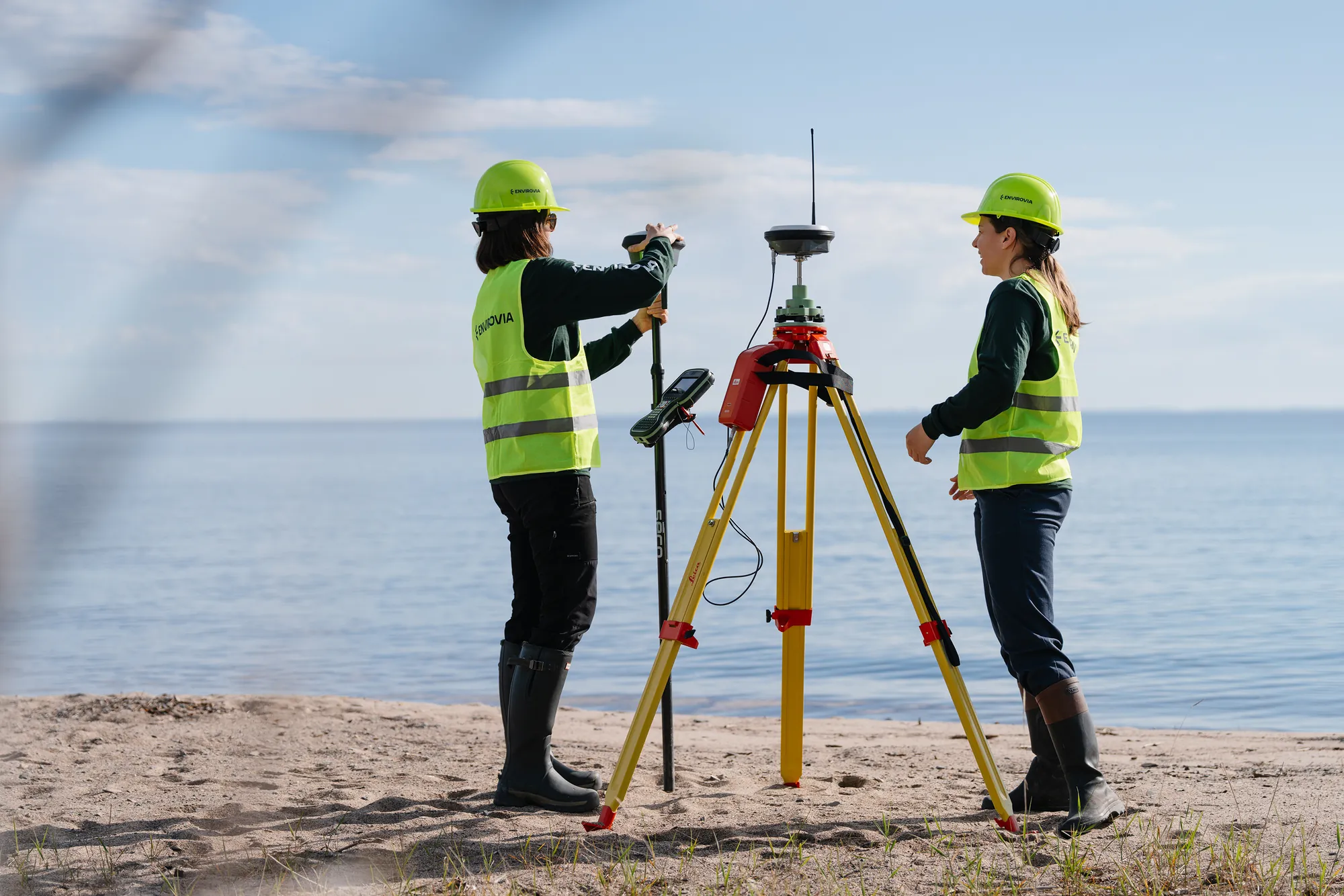
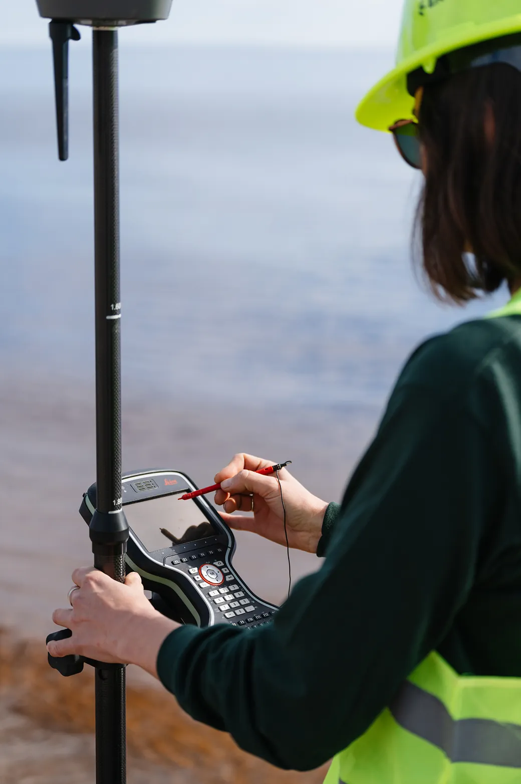
Our team uses leading-edge equipment (base/rover GNSS systems, bathymetric sounders) to produce georeferenced data at centimetre-level precision, directly usable in our scientific analyses and in modelling and design software.
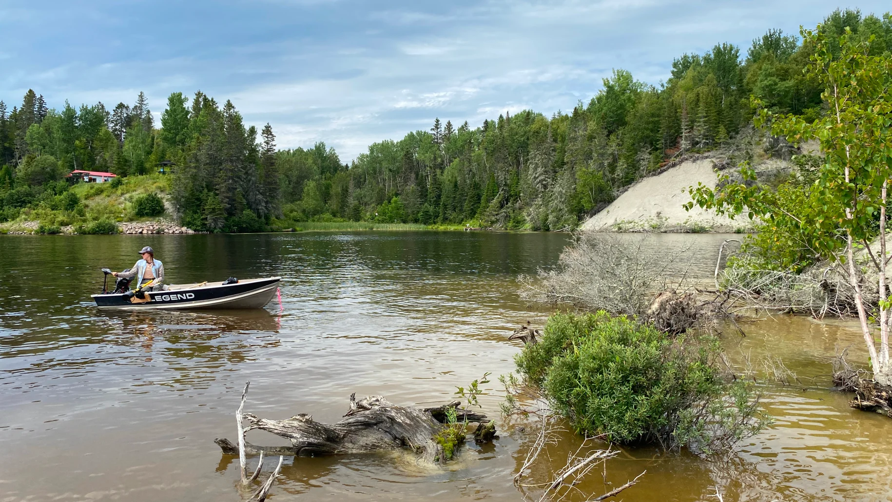
Analysis of provincial LiDAR, hydrographic maps, and available geomatic data to define the acquisition strategy. Identification of areas requiring denser measurements (channels, critical sections, deposition zones).
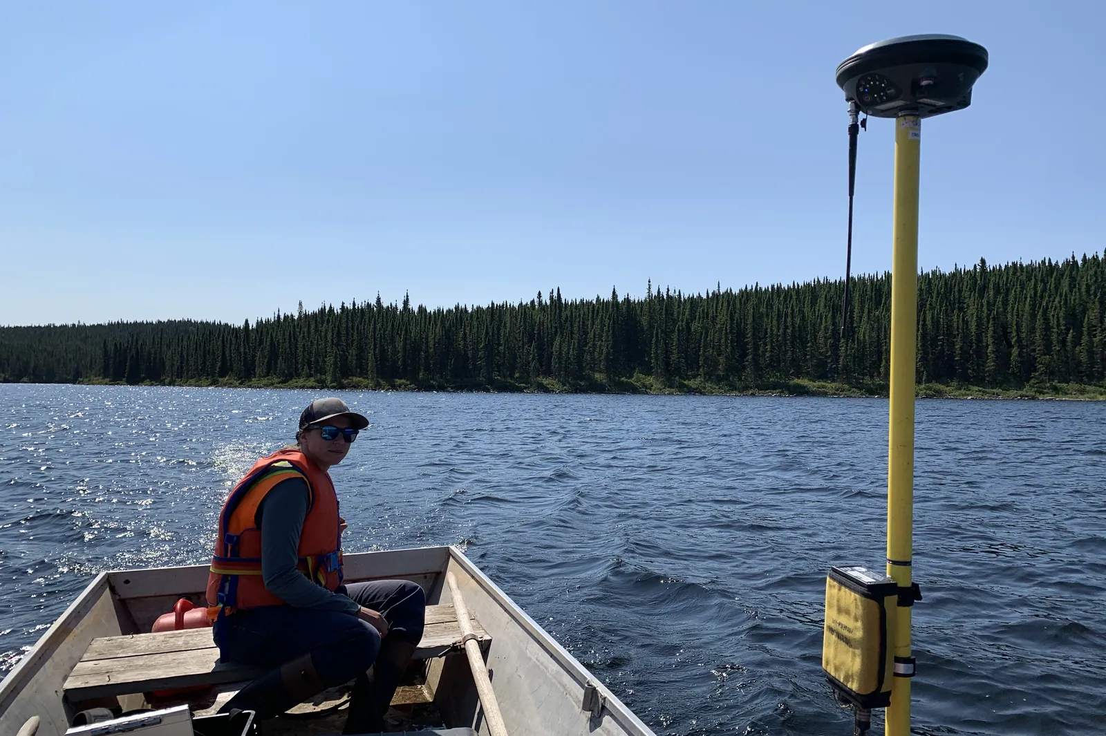
Combination of techniques based on site conditions: base/rover GNSS systems at centimetre precision for emerged surfaces, bathymetric sounder for submerged areas.
Data processing, verification of vertical and planimetric precision, interpolation, and generation of digital terrain and depth models. Systematic quality control by comparison with independent checkpoints.
Production of longitudinal and cross-sectional profiles, contour lines, surfaces, and exchange files in requested formats. Direct integration into the ecological and geomorphological studies conducted by our team.
Same owners, same team, new name. The expertise you have trusted for years, with a new look.