Contact us
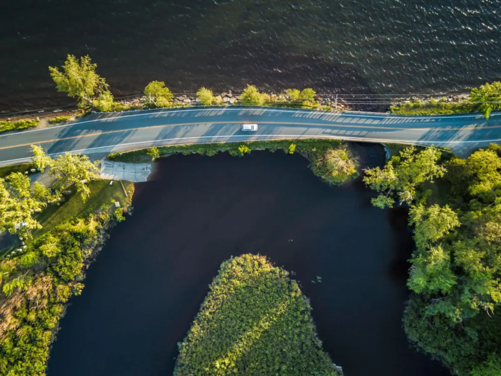
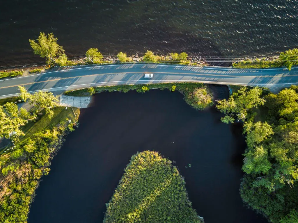
Aerial view of the Saguenay River banks
Home / Projects / Saguenay
Geomorphological study

The banks
of the Saguenay
River.

The mandate

Stabilizing without concrete.

The municipality of L'Anse-Saint-Jean is facing accelerating erosion along the banks of the Saguenay. Conventional riprap solutions respected neither the character of the fjord nor the ministry's requirements for protecting riparian environments.

Envirovia was mandated to characterize the entire shoreline, identify priority sectors, and design a stabilization plan using vegetation-based engineering that is adaptable, durable, and fully compliant with the environment ministry's regulatory regimes.

By the numbers

A few highlights
from the mandate.

14 km Of riverbank characterized through field and drone surveys
38 Intervention sectors prioritized by geomorphological risk
11 months From the first field campaign to ministerial authorization
100% Application accepted with no substantial adjustment by MELCCFP
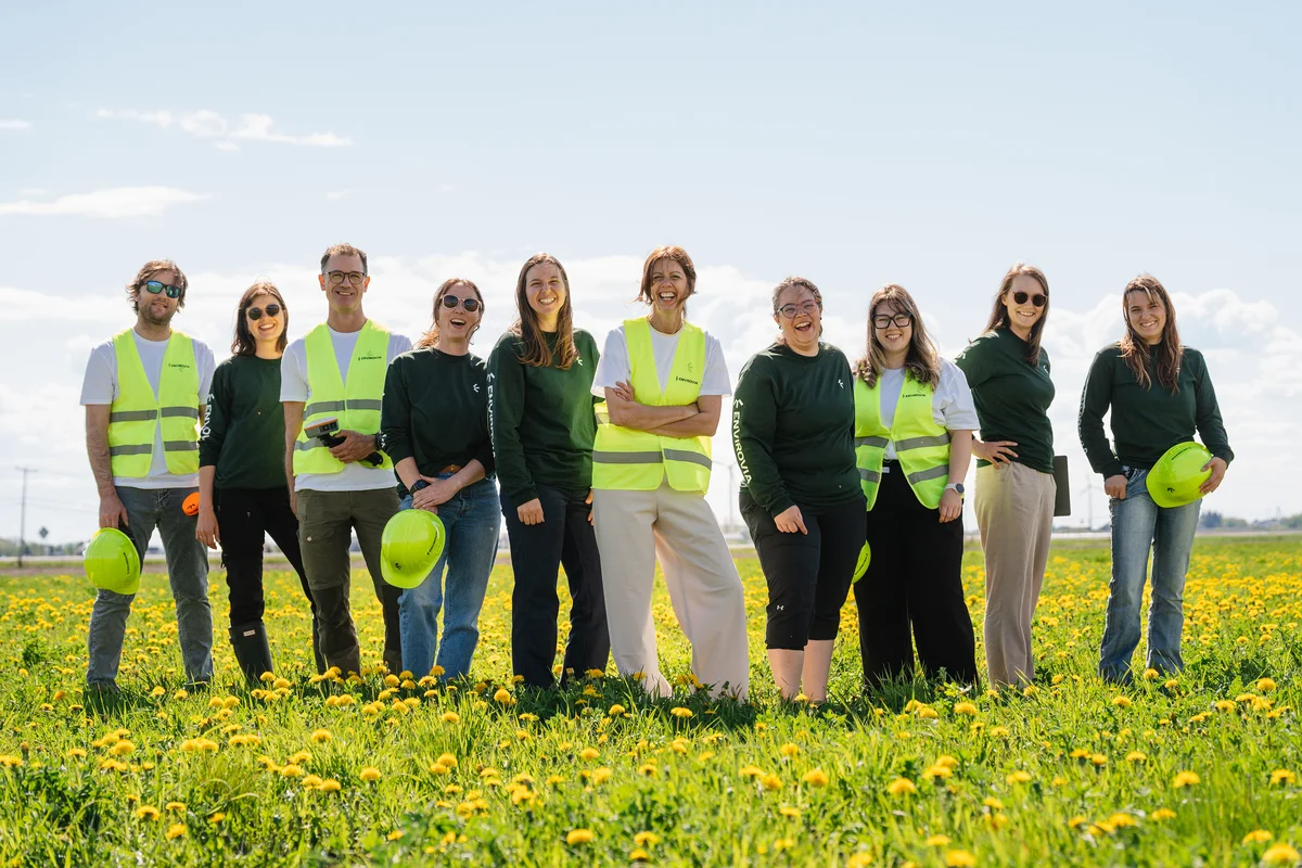
Envirovia team conducting a field survey
Approach

Three phases. One continuous reading of the fjord.

Technical sheet

Details
of the mandate.

Type of expertise
Hydrogeomorphological study, vegetation-based engineering, authorization request
Technologies
RTK drone, photogrammetry, GIS (QGIS), 1D HEC-RAS modelling
Envirovia team
Geomorphologist, biologist, field technician, geomatics specialist, project manager
Partners
Saguenay watershed committee, MELCCFP, MRC Le Fjord-du-Saguenay
Deliverables
Study report, cartographic atlas, intervention plans, authorization file
Follow-up on the mandate
Implementation monitoring and environmental assessment over 3 years
"
A human-scale firm that doesn't sacrifice rigour. For a municipality like ours, being able to speak directly with the president changes everything.
Daniel Lavoie
Mayor, Municipalité de L'Anse-Saint-Jean
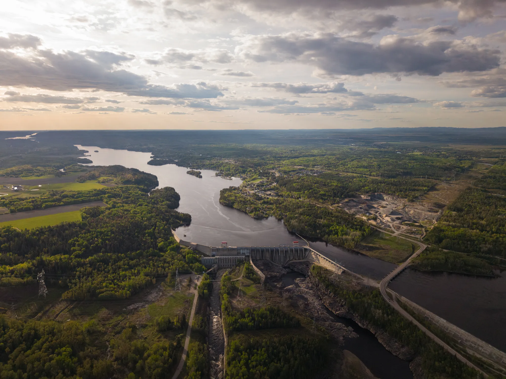
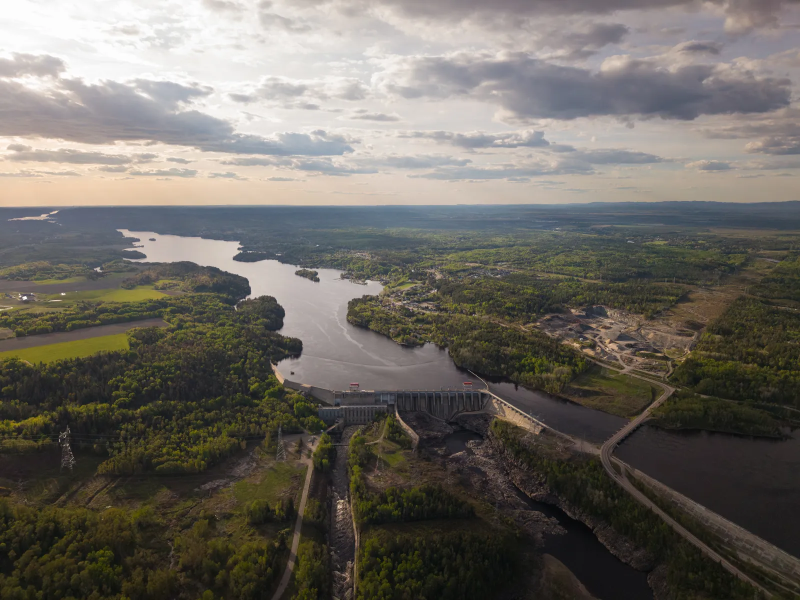
Aerial view of a valley
Start a project

A similar mandate in mind?

A first call, a frank read of the issues, a clear action plan, no commitment.

Write to us